Over the past two decades, the African continent has experienced some of the world’s highest urban growth rates, estimated at approximately 3.5% per year. By 2025, African cities are expected to host up to 85% of the continent’s population. In Senegal, Dakar concentrates nearly half of the national urban population, with approximately 3.7 million inhabitants in 2019. This rapid expansion is driven by both sustained demographic growth and rural–urban migration.
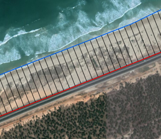
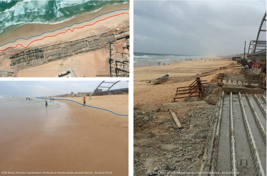
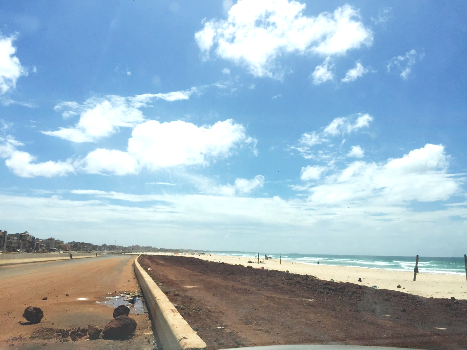
As the Dakar peninsula has progressively reached its spatial limits, new infrastructure developments have increasingly extended into peripheral and coastal zones. Among these, the extension of the Voie de Dégagement Nord (VDN) — a 28 km highway developed to improve urban mobility — has significantly reshaped both urban and coastal landscapes. While contributing to traffic decongestion, such large-scale infrastructure has also intensified pressures on sensitive coastal environments, particularly the Niayes ecosystem, a geomorphic and ecological region of coastal dune systems that plays a critical role in Senegal’s food supply through market gardening.
Against this backdrop, the research addresses the interactions between rapid urbanisation, coastal infrastructure development, and climate-related hazards in the Dakar metropolitan area. It focuses on understanding how land-use change and major transport infrastructure influence socio-spatial vulnerability in a context of accelerating climate change.
The research contributes to:
comparative assessments of environmental and socio-spatial impacts associated with major coastal infrastructure developments;
evidence-based urban and coastal planning, with a focus on flood risk management;
the identification of climate adaptation pathways and sustainable infrastructure strategies for rapidly growing African coastal cities.
Year: 2019
Key Information


Funding : Columbia University & USA National Science Foundation – EarthCube Grant
Principal Investigator: Dr Awa B. Dramé
Institutional Contact
Research enquiries: research@coastgis.org
Communications & partnerships: communication@coastgis.org
GIS Solution for your project ?
To update
Hello, AiPT 🙂 !
Can you generate a short description?
 Sure, let me know what you would like me to describe.
Generate a description for my products.


